Photo Gallery:
Lake Shasta Caverns
How We Discovered Lake Shasta Caverns
During the month of May in 2009, Wolf and I decided to do a little road trip. This time we thought we'd head north of Chico, so we found ourselves in the Lake Shasta area.
As we drove around, we were surprised to see signs for Lake Shasta Caverns - we'd never heard of them before. Of course, we just had to check it out. Here's what we found.
The caverns were well-known to local Native Americans, and were "discovered" by J. A. Richardson in 1878,
Yet, they weren't opened to the public as a natural attraction until 1964.
It's quite the adventure just getting there.
First you must take a boat ride across part of the lake, then take a bus up a hill to the cavern entrance.
But why tell you what we can show you. This is a Photo Gallery, after all - let's get to the photographs!
Hover your cursor over each photo to see a brief description; you can also click on the photo to see an enlarged version.
And feel free to use the floating bar to the right of the page for sharing on Facebook, Twitter, Pinterest, G+, or YOUR favorite social media site.
Photo Gallery: Lake Shasta Caverns, May 2009
The cavern headquarters is located at 20359 Shasta Caverns Road, Lakehead, California.
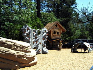
When you first arrive, you'll see the play area, which contains fun play structures...
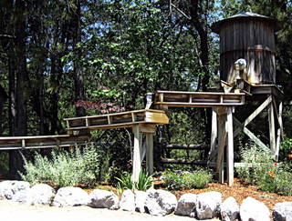
A water tower and flue to help support the gold panning...
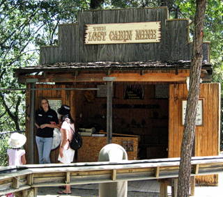
And the Lost Cabin Mine, where you'll find the gold panning equipment.
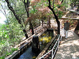
When you're ready to move on to the caverns, stroll down this lovely shaded walkway where you'll be collected by a catamaran ferryboat.
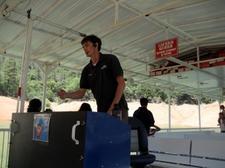
Your ferry captain will tell you a bit about the lake and the geography of the area on the way over.
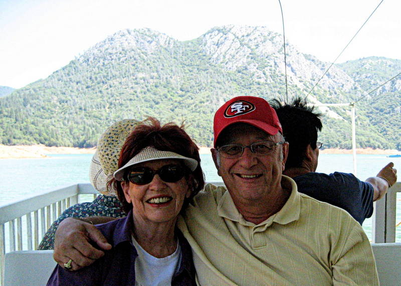
A kindly stranger snapped this photo of Wolf and I as we enjoyed the ferry ride to the other side of the lake...
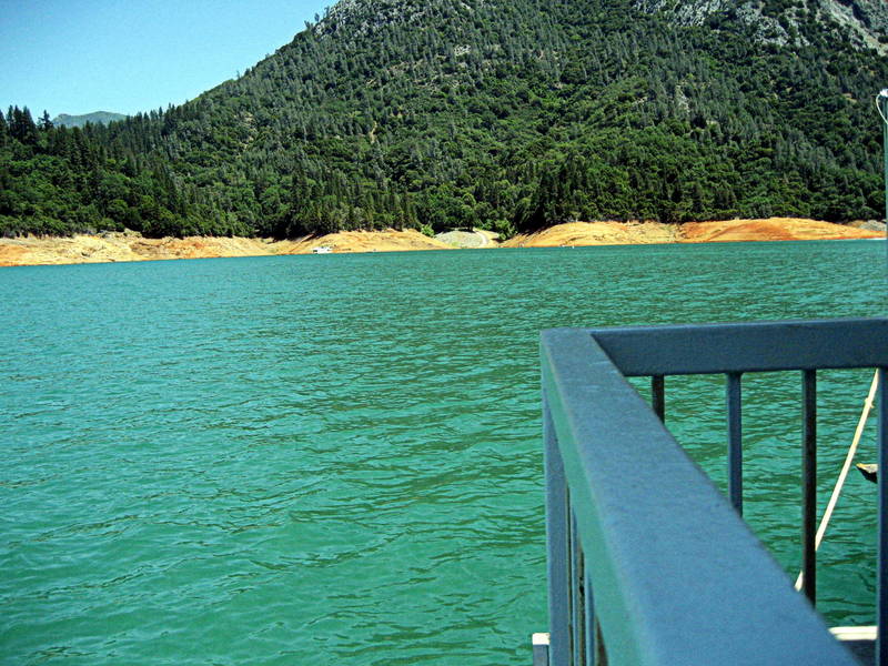
Approaching the opposite shore...
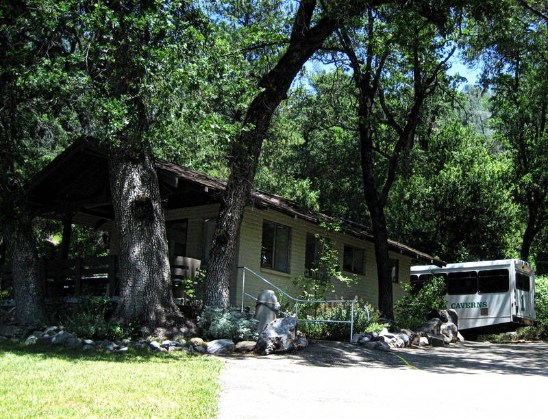
Your bus awaits to transport you up the winding road in customized comfort...
Views of the lake during the bus ride...
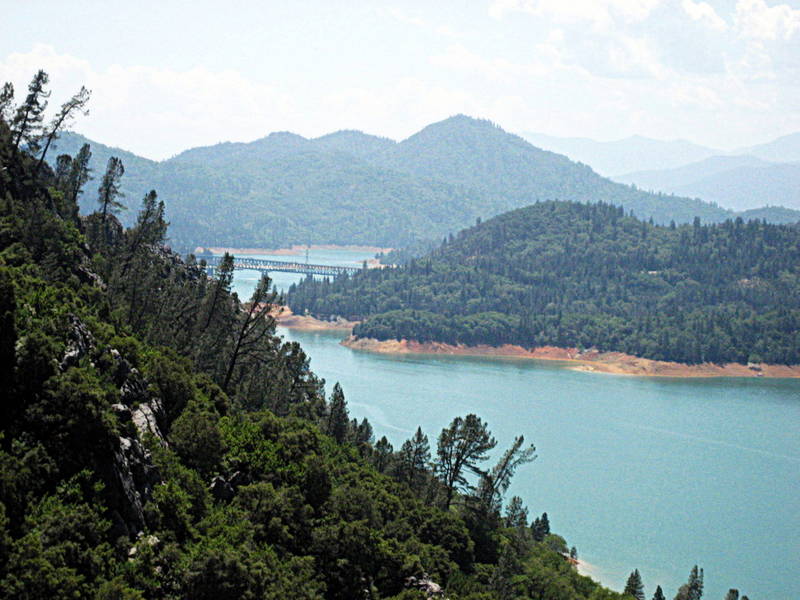
This section of Lake Shasta is known as the McCloud Arm.
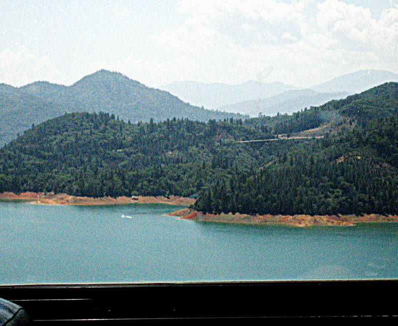
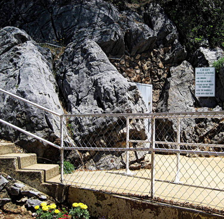
At the entrance to the limestone caverns, your guide will explain some of the history and geology of the caverns...
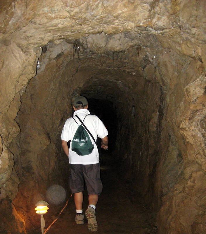
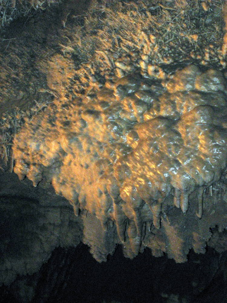
It's time to enter the caverns to see for yourself what 250 million years can accomplish...
These and other limestone formations are created when water seeps through the cave from above, dissolving the limestone and redepositing it elsewhere.
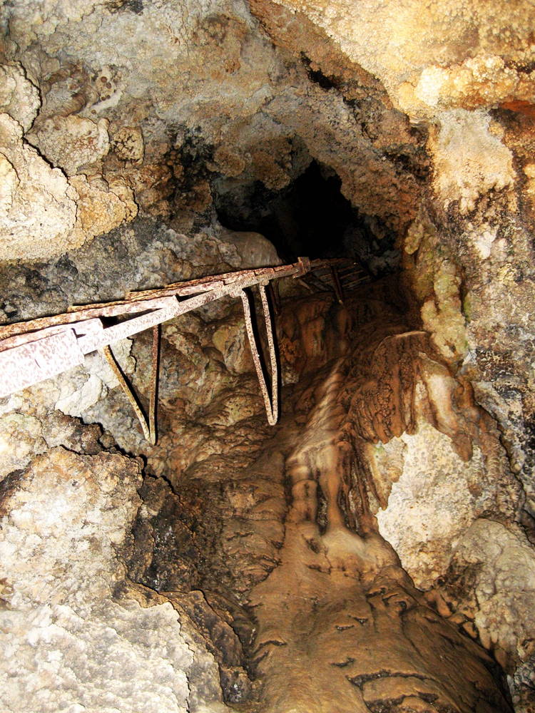
Thank goodness we don't have to use THIS entrance anymore!
When your tour is over, you'll return to cavern headquarters the same way you arrived, enjoying the gorgeous views along the way.
For more about this great Shasta County attraction: Lake Shasta Caverns.
If you've enjoyed these photos, keep checking back as we'll be adding more galleries from the trips we've taken and the times we've had exploring and discovering Northern California! In the meantime...
Please continue your exploration of what Northern California has to offer by using the Nav Bars in the left and right columns or by using the links at the bottom of the page.
Like what you're finding here at Discovering Northern California? Then please share with the Social Network of your choice.
And thanks for coming!
- Home Page
- Lake Shasta Caverns
Related Articles
Shasta County
Related Articles
Northern California Photos
Alfred Hitchcock, The Birds
Collins Lake Deer Pics
Lake Shasta Caverns
Photo-of-the-Week
Sunflowers
Related Pages
Hints & Tips
Beach Safety Tips
Best Kept Travel Secrets
Family Camping Tips
iPhone Travel Apps
Nude Beaches
Tide Pool Tips
Travel Sites We Love
Travel Tips
Whale Watching Tips
Wine Tasting Tips
Winter Driving Tips
Related Pages
Things To Do
Activity Village
Attractions
Beaches
Beer Lovers Delight
Burney Falls
Camping
Casa de Fruta
Day Trips
Gold Panning
Gold Rush Sites
Healdsburg
Historic Grass Valley
Lake Shasta Caverns
Lodi
Missions
Nevada City
RV Destinations
Ski Resorts
Tide Pool Tips
Travel Tips
Weekend Trips
Whale Watching
Wine Tasting
Related Pages
Free Things To Do
Free in Big Sur
Free in Chico
Free in San Francisco
Free in Sonoma
Related Pages
Insider Secrets
Best Kept Travel Secrets
Best Winter Whitewater
Boring Road? Nope
CA Admission Day
Climbing at Castle Rock
Crabbing Spots
Dream of Dreams
Fall in Eastern Sierras
Ghost Stories
Glass Beach
Great Stays, Low Pays
How to be a Valley Girl
Jade Beach
Lake Shasta Caverns
Lassen Volcanic SP
Lost Coast
Mono Lake
Moss Landing: Whales
New Clairvaux Abbey
Panning for Gold
Pygmy Forest
Mendo to Eureka
RV Destinations
SF Great Places to Eat
SF: More About Eating
SF Neighborhoods
SF Giants Baseball
Santa Cruz: Memories
Santa Cruz: Old Friends
Sonoma Cooking Class
Sonoma History
Sonoma Top Wine Stop
Tahoe: Discovery Trail
Underground Gardens
Yosemite: Family Hikes
Yosemite: High Country
YNP: Off the Beaten Path
Yosemite: Taft Point
Ziplines
